Crime & Safety
Groundbreaking Rescue Software Could be Used in Altadena
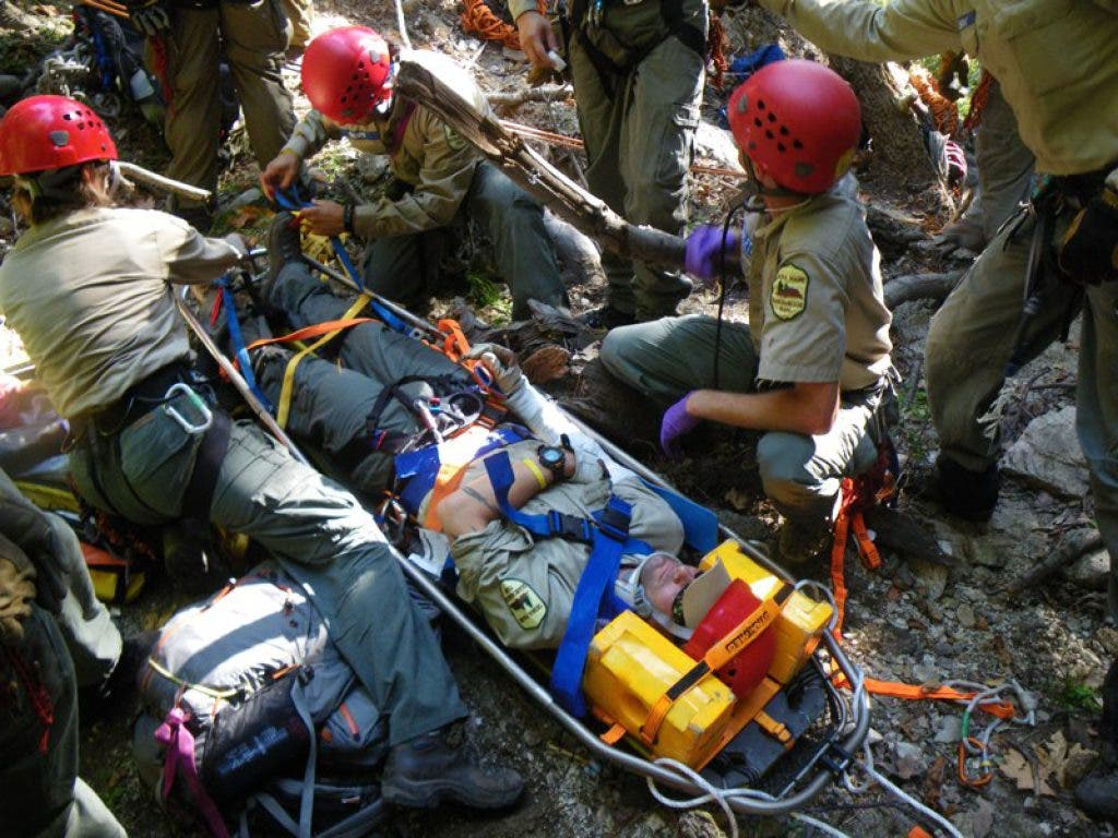
The Sierra Madre Search and Rescue team and the company ESRI have created a life-saving mapping software that is being picked up by rescue teams across the nation and Canada.
Members of the along with the company ESRI have created break-through mapping software that is the first of its kind and could help save lives.
The software, dubbed MapSAR (Map Search and Rescue), creates a comprehensive map not only of the search area, but also every detail associated with it- clues that have been found, dangerous areas to avoid, trails to follow, weather forecasts, where other search teams are located, and more- and stores it in one place.
“No one had really ever taken GIS [Geographic Information System] and applied it to search and rescue. We’re the leaders in this,” said Jon Pedder, a Monrovia resident and a six-year veteran of SMSR. Pedder helped spearhead MapSAR’s creation and did much of the coding himself.
Find out what's happening in Altadenawith free, real-time updates from Patch.
The system could soon also be used by other local teams: Rich Deleon of the Altadena Mountain Rescue Team said he is familar with the software and that the Sierra Madre team will be hosting Altadena and other teams to show it off. Then AMRT will make a decision on whether to begin using it as well, Deleon said.
Search and rescue teams often use rudimentary methods when they arrive in a location and begin collecting clues.
Find out what's happening in Altadenawith free, real-time updates from Patch.
“We get called on a lot of big mutual-aid searches,” said Pedder. It’s not uncommon for SMSR to travel up to Yosemite or Sequoia to help with a search that’s already been going on for days. Briefing search and rescue teams and distributing maps can often take so long that it eats into precious time that could be used to look for a missing person.
“What’s frustrating for us and other teams was, you get up there and then stand around and wait for a couple hours for the assignment,” said Pedder.
Pedder said that clues are often written on Post-its stuck to a big map at a central location. As more and more clues and teams come in, information can get muddled or lost. There have been instances where Post-its with essential clues have literally fallen off the map or gotten lost, with the result being the difference between life and death.
MapSAR changes all that.
“Having the accuracy of recording all the pieces in one database and one map is really a huge step,” said Pedder.
Watch a video of SMSR using MapSAR
MapSAR is self-contained and operates without an Internet connection. As team members radio in their locations, found clues and status, headquarters will update the map.
As headquarters consults with the family of a missing person about the significance of clues found during the search, the map is updated.
There are color-coding options to designate things like the importance of a clue, trail areas covered and team location.
The software also allows for better-quality maps to be printed and distributed to search teams, and previously-used maps to be saved and shared.
Pedder is an IT manager by trade, and said that when he learned of the existence of GIS technology, he immediately wanted to apply it to search and rescue.
“We sat down and said could we, with this software, get maps into the searchers hands faster, putting them in the field quicker, giving them a better chance of finding a person,” said Pedder.
ESRI provided Pedder with their ArcMAP (GIS) software for free, and then he tweaked it to fit search and rescue needs.
“What I did was sit down with some of the operations leaders on [search and rescue teams], generally very experienced team members with 20-30 years of experience, and I had to pull from their head how they run searches,” said Pedder. Creating the software involved “taking their institutional knowledge and trying to condense it into a workflow,” said Pedder.
The process took nearly two years, and Pedder said he did most of the coding during his daily commute on the Gold Line. The goal was to tailor it specifically to search and rescue by removing a lot of unnecessary menus, toolbars and features, and make it as user-friendly as possible.
Arnold Gaffrey and Art Fortini of SMSR helped develop the software, while other team members tested it. Officials from the Sequoia and Yosemite National Parks collaborated, too.
Employees from ESRI volunteered their time to sit down with Pedder on weekends to train him how to use their software.
“No one has been paid for the development,” said Pedder.
And today, they’re offering the software for free to anyone who wants it.
MapSAR is already being used by SMSR along with search and rescue teams in Sequoia, Yosemite and Grand Canyon National Parks, and teams in the northeastern U.S. and Canada.
Pedder has taught seminars to other search and rescue teams on how to use the software, and the goal is to host more in the future.
In October Pedder was recognized with a federal award from the National Alliance for Public Safety GIS Foundation. He was flown to Washington, DC for a reception and awards ceremony.
SMSR has been serving the San Gabriel Mountains and surrounding communities for 60 years, and is made up entirely of volunteers.
